Defence
Captis’ satellites can be targeted to the point of interest, providing the perfect starting point for fast and accurate decission making with up-to-date image data. Captured data can be exclusively requested with ownership rights. Therefore Captis Space Systems offers services for the following areas:
Intelligence
Good evidence-based decision making is based on the quality of the underlying material. Our high-resolution images help you make the right decisions for maximum success.
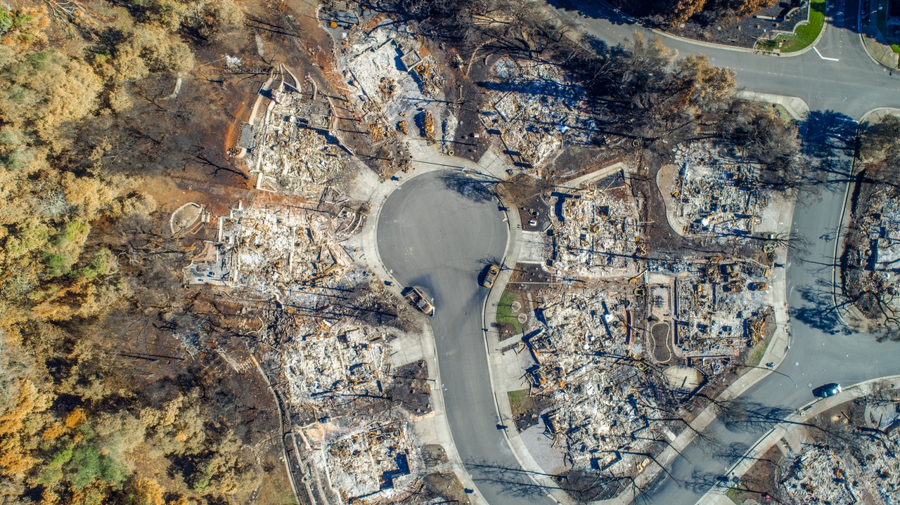
Disaster Response
In order to be able to deploy emergency forces quickly and in a targeted manner, the data situation must be crystal clear in the event of a disaster. Captis satellite systems help to provide appropriate images through high resolution, coupled with a high revisit time.
Border Control
We support facilities in monitoring official as well as non-official borders. With the help of near-real-time data it is possible to establish an early warning system to initiate targeted and fast actions.
Intelligence
Applications:
Aerial Monitoring
Object Detection
Corridor Mapping
Activity Monitoring
Aviation Tracking
Support Mission Planning

Disaster Response
Applications:
Disaster response
Disaster management
Supply planning
Dimension evaluation
Border Control
Applications:
Cadastral Data
Construction Monitoring
Factory Planning
Energy Efficiency